Local guides
Neighbourhoods
Ten local guides across Hammersmith & Fulham — transport, health, safety links and a shared statistics card system. Photography from Wikimedia Commons and Pexels with full credits.
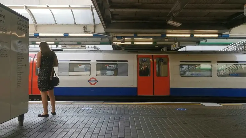
Broadway
Hammersmith Broadway, King Street, Lyric Square and the bus/tube interchange.
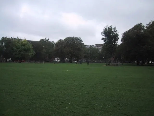
Brook Green
Brook Green, Blythe Road and the Olympia edge of Hammersmith.
Sarah Charlesworth · CC BY-SA 2.0 · Wikimedia Commons
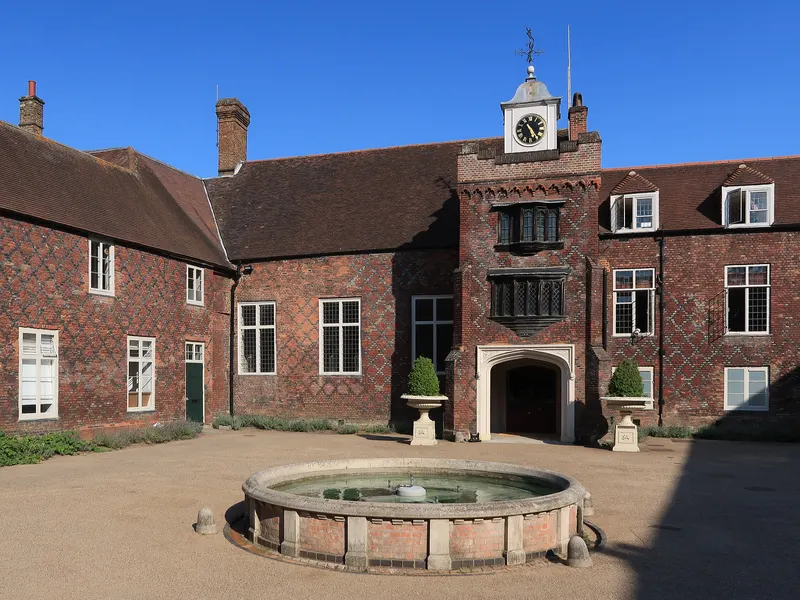
Fulham Palace Road
Charing Cross Hospital corridor, Fulham Palace Road and the riverside approach.
Michael Coppins · CC BY-SA 4.0 · Wikimedia Commons
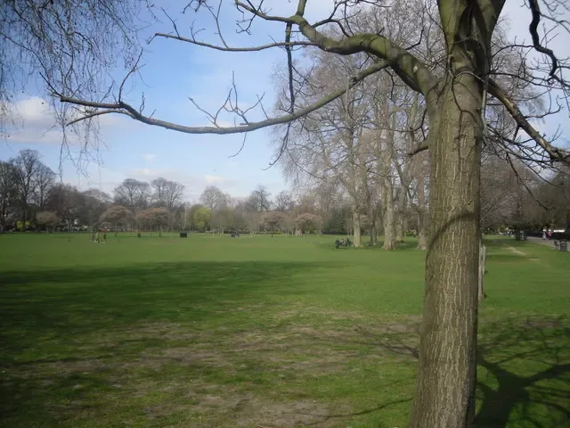
Ravenscourt Park
Ravenscourt Park station, the park itself and the King Street west end.
Peter Smyly · CC BY-SA 2.0 · Wikimedia Commons
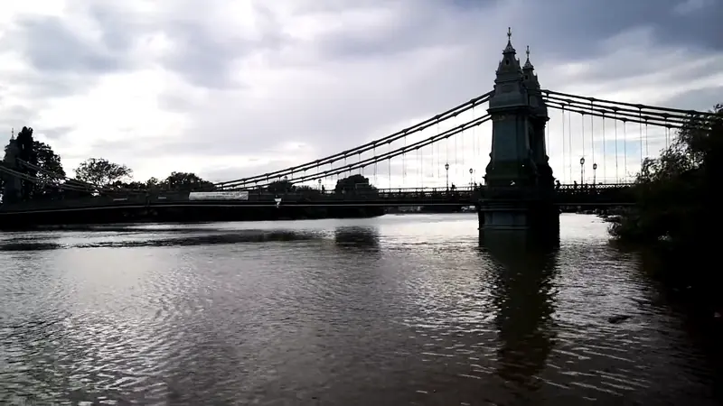
Riverside
Thames path, Hammersmith Bridge approach and Riverside Studios.
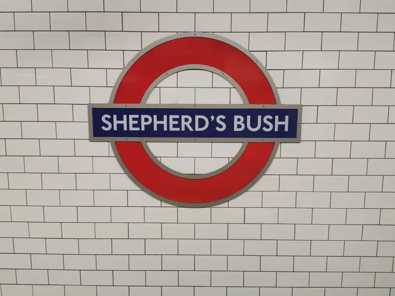
Shepherd's Bush
Shepherd's Bush Green, Westfield approaches and the Uxbridge Road.
White City
BBC campus, Westfield White City and the Central line.
Sarah Charlesworth · CC BY-SA 2.0 · Wikimedia Commons
Fulham
Fulham Broadway, North End Road and the heart of SW6.
Michael Coppins · CC BY-SA 4.0 · Wikimedia Commons
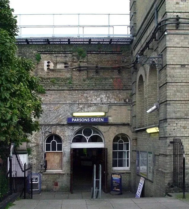
Parsons Green
Parsons Green itself, New King's Road and the District line.
Sunil060902 · CC BY-SA 3.0 · Wikimedia Commons
Sands End
South Fulham riverside, Imperial Wharf and Townmead Road.
Michael Coppins · CC BY-SA 4.0 · Wikimedia Commons